Getting There.
Around 8:30 Sue and Denis arrived at our place and we headed for the Charouleau Gap.We went down Highway 79 to Oracle junction and turned right on 77. After getting gas in Catalina we turned east on Golder Ranch Road. We drove to Lago Del Oro Pkwy where we turned left and followed this road to the staging area where we aired down.

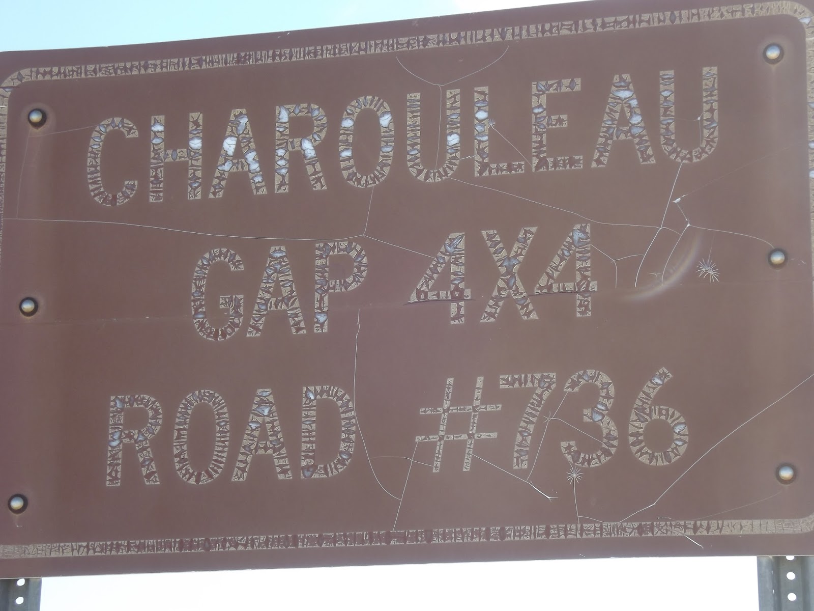
Look for this sign at the staging area.
The Trail.
Picture from, C. A. Wells "Guide to Arizona Backroads & map; 4-Wheel-Drive Trails".
Unlike many trails that ease you into the rough stuff this trail starts off with a bang. From the staging area you drop down a rutted bumpy trail.

The trail enters a valley with a view of the mountains to the south east.

We bumped along for a while.

Then entered an area of granite domes that in Moab, Utah would be called "Slick Rock".

This stuff has great traction and is a lot of fun to play on.


The Gap.
We left the slick rock behind and entered another valley.
Climbing out of the valley

we crossed through the Charouleau Gap.

The Trail Continues.
The trail drops down again.
It continues to be rough and bumpy.

The views are still spectacular.

First Wildlife Sighting.
As we were going around a turn in the trail Patti spotted a couple of deer. This time she managed to get a picture of one of them.
The Creek.
We eventually drop into Canada Del Oro and come to a beautiful creek.
This is the first of many creek crossings on the trail.
NOTE. All pictures in this blog with a date stamp were taken by Sue.

Here is one of Patti's art photos as we cross the creek.

After being on the trail for several miles we come to this sign.

Really? I hadn't noticed.
At another creek crossing.

Sue spotted this wild turkey in the brush.

Here is a little tough spot after we exit this crossing.

In some places the trail is the creek.

Lunch Anyone?
We left the creek for a while.
and found a shady spot off the trail to have lunch.

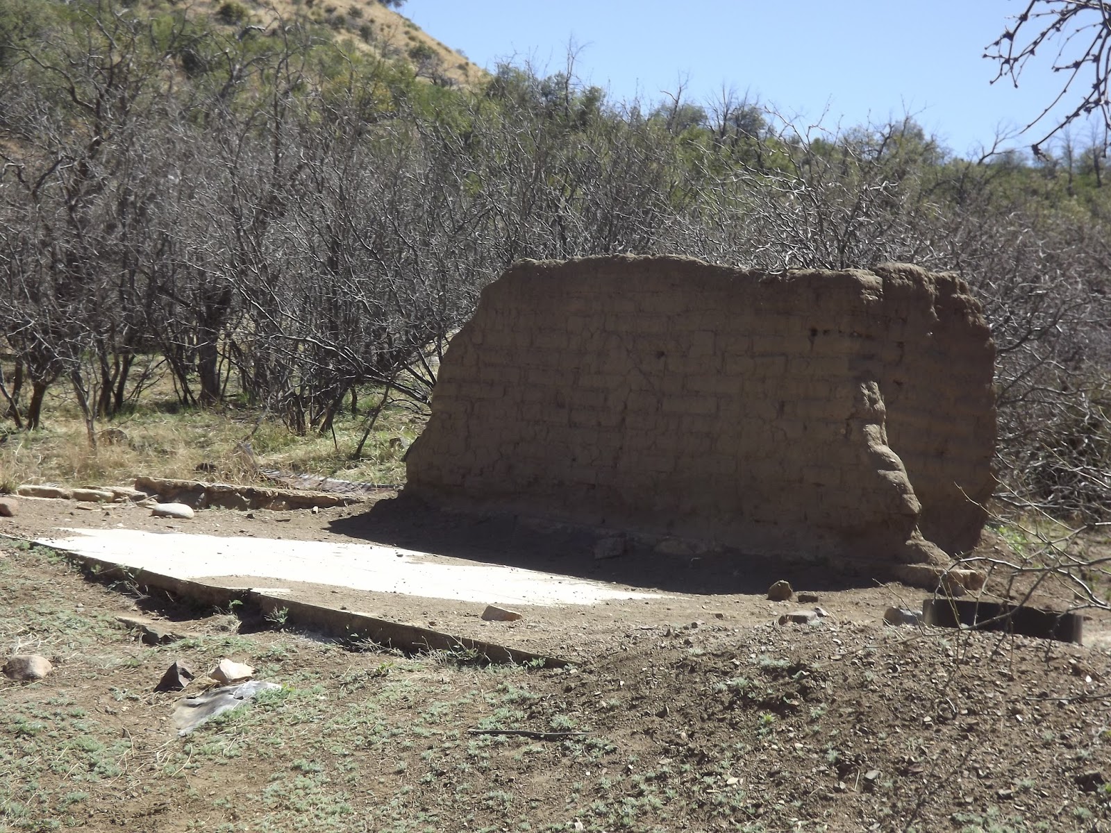
Coronado Camp.
After lunch we got back on the trail.
The next feature we came to was the ruins of Coronado Camp. I guess it was an old mining camp.
Back in the Creek.
A little further down the trail we came back to the creek. We crossed it a couple times.
Then drove down it for a while.

A Trouble Spot.
This spot gave us a little trouble.
Denis went up the left side and ran into some difficulties. In the picture below, you can't see it but his left front wheel kept bouncing off the ground a couple of feet whenever he tried to go forward. You can only tell by looking at the top of his jeep to see how high it is.

Denis eventually got the jeep under control and made it to the top.
I tried to follow Denis but could not get enough traction to get up the ledge

Eventually I had to give up and go up the right side.

The Step.
After getting past this we came to an optional challenge called the step about 200 feet off the trail. We checked it out.
We decided that we would pass on this one and took the slide to the left of the step.

No comments:
Post a Comment