Friday, July 28, 2017

Dead Wood Gulch Campground Thursday, Day 4 CDT.

Computer Problems

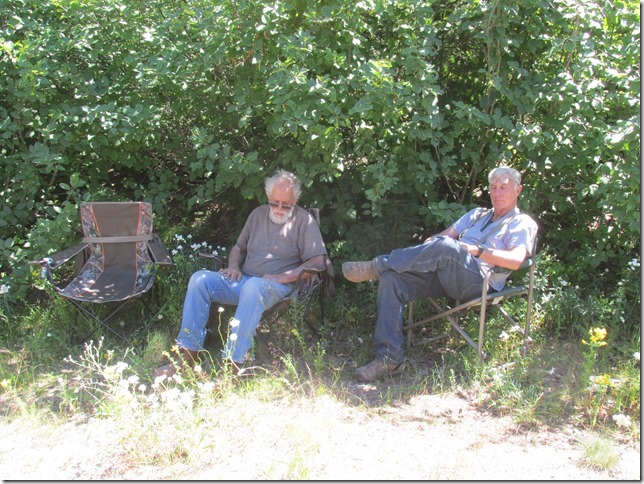
When I got up this morning I took a couple of pictures of our spot at Mormon gulch.

IMGP0824

When I tried to put the pictures into my computer the computer decided that it no longer wanted to recognize SD chips. Bob and I worked on the problem for a while but couldn’t find a solution. Eventually we decided that the best thing to do was to just get another computer.

Let’s Go.

About the time we were done with the computer Cheryl and Dennis showed up.
Our trail would take us right through Butte Montana. so we should be able to publish the last four posts and find a computer.

Heading for Butte.

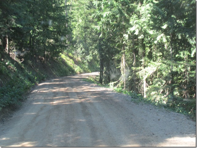
We left the campground and drove south on a wide wash board road for several miles.

We crossed the Divide again.

IMGP0827

We stopped at an intersection and saw this quaint old building.

IMGP0829

Road Side Art

We drove by this place that had some awesome metal sculptures out front.

Sheep.

IMGP0832IMGP0832

Man With out a Horse

IMGP0834

Butte Montana.

Eventually the road turned to pavement so we really made good time and were coming into  in Butte by 10:30.

We came into Butte through the older part of town. There are some very beautiful old Victorian style homes and buildings in Butte.

IMGP0838

The road goes by the Berkley open pit mine. It is quite large.

IMGP0841

The new part of town is just like any strip mall city. But they had a big Walmart. so we stopped in.
I bought a new small Dell laptop and Patti bought a blouse.

We went to Carl’s JR for lunch and to use their internet to post the blog for the last several days.

From Carl’s we made a quick stop at Staples to get a new mouse and USB to SD adaptor.

Back on the Trail.

Interestingly enough we were on the CDT all along. it goes right through Butte.

We headed south from Butte and after one “U” turn we got on highway 2. We followed highway 2 and took a left turn onto a dirt road and drove south west for a while.
We crossed the divide a couple more times.
WeIMGP0847 lined up for a photo at this crossing.

IMGP0847

Road Closed.

We continued along this road for a while and eventually came over the mountains and hit I-15 we went under the interstate and continued south on a frontage road. We were looking for that went into big sheep recreation area when we turned off we came to this sign .

IMGP0892

We were planning on camping at the end of this part of the trail.

It was decided that we should go around this section and come in from the other end, so we followed the main road around a large lake and got back on I-15.

IMGP0896

and drove to the other end of the closed trail. We followed that trail until we came to Deadwood Camp ground.

IMGP0903

Here is where we spent the night. It was kind of cold and windy here so we didn’t stay out side for long after sun set. The wind blew hard and cold all night. Cheryl and Dennis had a bad night in the tower apt.

Thursday, July 27, 2017

From One Camp Under the Power Lines to Another


Leaving Our Camp

After a good nights undisturbed sleep, we had breakfast and hung around camp. After I posted the blog we decided to leave. It was about 11:00.

This is the first time I have had the rig in 4wd since I did some tightening and adjusting of the linkage. The transfer case worked good this time and it went right into 4wd.
We climbed out of the hole where we were and got back on the main trail.

Side Trip.

A couple miles down the road we took our first unscheduled side trip.
Where we were supposed to go right we turned left on the road to Lakeview. It was only a mile or so to Lakeview, which is a boat ramp and a bunch of summer cabins along the narrow one lane road.

The lake from Lakeview.

IMG_6541

According to our AAA map, the trail we wanted went right through the village.
Once again I learn a lesson that has been shown to me several time.

LESSON.

Never ever trust a AAA map when you are off the main highways. They will miss lead you every time. This was the second or third time on this ride where the map showed a road that was not there.

Back Track.

We turned around and went back through the village. I stopped to ask one old guy that was out in his yard, which way to go. He had no idea where I was trying to get to and kept telling me that we would have to go all the way back to 95 and go around.
I was sure that there was a way through the mountains but we just had to catch the correct road.
I thanked the oldster and we went on.
At the far end of the street, at the edge of town was one last house. There were people sitting in the yard so we accosted them asking for directions.
A guy came over and we talked to him for a while.
He didn’t know exactly which road we wanted so he consulted a little old lady that was at least 100 and only weighed about 80 lbs. She said that just out of town there is a power switching station where we want to turn left up the hill. Stay on that road 278 and we will end up in Clark Fork, which is where we wanted to go.

We thanked them and headed out of the village.

On the Right Road.

When we got to the power station we realized that, where we camped last night was right across the canyon. We could even see it from our camp.

We took the left up the hill at the power station and headed north east basically following the contour of the lake shore.

We pretty much made it without getting side tracked very far. We had to stop a couple times to “Recalculate”.

Lunch break and Flowers.

About 10 miles out of Clark Fork we came to an intersection with a main dirt road heading toward the town.

We found a little shade and took a lunch break; it was about 2:30 by then.

IMG_6548

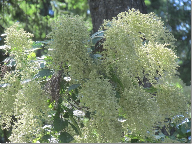
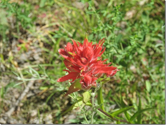
There were a lot of wild flowers in the area so after lunch Patti wandered around taking flower pictures.

IMG_6547

Paint Brush.

IMG_6549

?

IMG_6553

Clark Fork.

After lunch we headed for Clark Fork.

IMG_6555

Just a short distance down the road we came to some great views.

IMG_6556

At Clarks Fork we went into their grocery for some bread and stuff.

Back on the Paved Road.

We left Clark Fork heading east along the river.
It is a beautiful drive on a nice smooth blacktop road.

IMG_6564

Time to Camp.

Around 5:00 we were all tired and ready to have supper and camp for the night. As we were rolling along the highway about 55 miles out of Eureka, MT  Patti noticed a little green sign coming up. As we got closer we could see that it said “Dunn Creek” and an arrow pointing right. We took the turn and followed a narrow dusty road for maybe a mile where we came to a smaller road going to the  left. We crossed a little creek and came to the power line cut and a spot wide enough for both vans and more.

We set up, had supper, sat around, went to bed and had a quiet restful night.

IMGP0756

Eureka Montana and CDT Day 1

Sunday 7/23

We broke camp around 10:30 and continued east through some beautiful country.

IMG_6566_thumb

We passed the Libby Dam and drove along the edge of
Koocanusa Lake.

IMG_6571_thumb

Eureka, MT

We got to Eureka, MT around12:30 and drove through the town.
At the other end was a park and museum. We pulled into the parking lot and Patti tried to raise Cheryl on the phone. It turned out that they were only about 20 minutes behind us.
They caught up to us at the museum. Once we said hello we followed them back through town where there was a motel.
They went in and got a  room for the night, while we waited in the Subway sandwich shop next door.

Once they were all checked in, we drove to a laundromat where Patti and Cheryl started the laundry

IMG_6584_thumb 

Okay That’s it for now, It’s too hot to think any more.

Monday 7/24. Day 1 CDT.

Patti, Bob and I camped at grays Creek campground. The camp ground is on FR114 which is the road we are taking to get to the start of the Continental Divide trail. Which officially starts at the  Canadian Border to start the Continental Divide trip. We camped there so that Dennis and Cheryl  could stop by and pick us up on their way.

I got up around 6:00 so I could make sure that I tightened the lower radiator hose.
Dennis and Cheryl showed up at about 8:30 and by 9:00 we were  on the trail heading for the border.

IMG_6594

At the border we took some pictures.

IMG_6610

Bob on the left. Cheryl and Dennis in then middle and us on the rirght

IMG_6615

After the pictures we headed south toward Mexico.

IMG_6619

We passed some nice lakes.

IMG_6623

And lots of pretty wild flowers.

IMG_6625

We stopped near a small lake for lunch.
Cheryl at the lake.

IMG_6626

After lunch we continued south driving past across the Swan River.

IMG_6630

and drove along the north shore of Flathead Lake.

IMG_6633

A short Detour.

Unfortunately we had to make a detour to Kalispell MT so I could get a new muffler on then van.

Once we got to the shop it took the guy there less than an hour to get us going again.

IMG_6635

Back on the Road.

We left Kalispell and headed back to the trail.Once we were heading south on the trail for a couple of hours we started looking form a camp spot. They were few and far between but eventually we found a spot off the road with enough room for all three vehicles.

First Camp.
Dennis and Cheryl’s “safari” rig.

IMG_6646

We had a toast to Dennis and Becky K. They sent the last bottle of wine from their old vineyard along with Dennis and Cheryl. The wine was good and potent.

IMG_6650

After supper we sat around for a short time but the mosquitoes were pretty thick so we turned in early.

Okay, that was the first day on the CDT (Continental Divide Trail)

A Day of Detours. Day 2 CDT.


Get Going.

We left our camp around 8:30 fuzzy brained and sleepy eyed.

IMG_6652 
We continued on the trail until we came to Highway 93 where we headed for Seeley Lake.

IMG_6659

Unfortunately the CDT in this area is almost all single track bike trail so we had to detour around it. We stopped in Seeley Lake so Dennis could top off the tank in the jeep and Bob could get a radiator cap. He is having some coolant issues.

Garnnet.

From Seeley lake we continued down 83 to highway 200. Here we took another detour.
We drove west on 200 to the turnoff to the Garnnet Ghost Town. The town was about 11 miles off the highway on a washboard road.
Along the road we stopped to check out this old cabin.

IMG_6663

The BLM maintains the cabin and it is open for use.

IMG_6664

Garnnet is a well preserved ghost town set in a nice tree filled valley.

IMG_6669

Another Detour

We had lunch in the parking lot for Garnnet and then headed back to the highway. We headed east on 200 toward the town of Lincoln.

IMG_6677

We were supposed to pick up the CDT west of there and spend the rest of the day making our way through the mountains on Beaver Creek Road.

Bad Wild Fire

When we got to Beaver Creek Road there was a sandwich board with signs on it proclaiming that the road was closed due to a forest fire.

IMG_6691

We turned around and went back to 200 where we continued on the pavement to the town of Lincoln.
As we came around the mountains we that were suppose to go through, we could see that it was indeed a massive fire.

IMG_6699

As we entered Lincoln we passed a large fire camp.

IMG_6701

Camping on the Divide.

Cheryl and Dennis had planned to stay in a motel in Lincoln but with the fire there was no room at the Inn.
Cheryl came up with a plan. We can get on the CDT from Lincoln on
Stemple Pass Road. We followed this road to the top and after a bit of searching we found a great spot for a camp, Right on top of the mountains with an unobstructed view to the west.

IMG_6717

The best thing is we are camped right on the Continental Divide.

A helicopter flue by towing a water bucket.

IMG_6726

Fiery Sunset.

After we ate our supper we spent the rest of the evening watching the sunset in the smoky sky.

Here are a couple pictures of the sun set.

IMG_6738

 IMG_6746

And last but not least…

IMG_6760

Okay that was our detour day; hopefully.