Bob’s Back.
Bob is almost back to his old chipper self.
He had a rough go for a while but by this morning he was ready to go.
Cheryl’s son Ken arrives.
The original reason for us to stop in Buena Vista was to connect with Cheryl’s son, Ken.
Ken arrived a little after 9:00. He is leading us on a side trip over Tincup Pass and through the “Ghost Town” of Tincup.
Here are Dennis, Ken and I checking out the map.

I don’t know why I’m looking at the map, I don’t have a clue where we are going and don’t really care as long as we are going.
Off We Go then.
We followed Ken south out of Buena Vista on Highway 285 for a while. Then we turned right onto the road to Mount Princeton and St. Elmo “Ghost Town”.

It wasn’t long before we were driving through more Aspin Alleys.
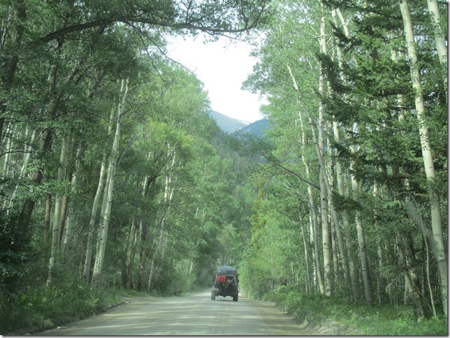
St Elmo.
After a while we got to St Elmo.

St Elmo is a “ghost town” from the 1870’s. It is apparently a popular tourist destination as well.
The town has some nice buildings from that time.

Tincup Pass Trail.

As soon as we started up the trail I knew we were going to need four wheel drive before this day was over.

As we climbed through the forest the trail became more interesting.

This trail is very popular and there is quite a bit of traffic. I was amazed by some of the vehicles that were on the trail.
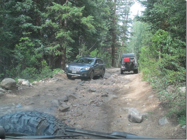
I know that a lot of people were amazed to see our two old vans on the trail.
The road was pretty bumpy as we climbed but it wasn’t so bad that we couldn’t enjoy the scenery.
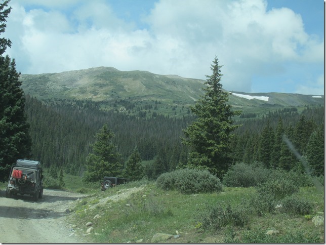
I hit something in this puddle that spun the steering wheel out of my hands and bounced us off to the right side. I was even going very slow. I think it might have been that big rock in the middle

Tincup Pass.
Eventually we made it to the top of Tincup Pass and crossed the Divide for the 18th time (I think).

We looked at the view for a while…

Then started down the other side.
Going Down?
Getting to the top of Tincup Pass was fairly easy. Going down the other side was a little rougher.
It started out pretty good.

and got a little tougher.

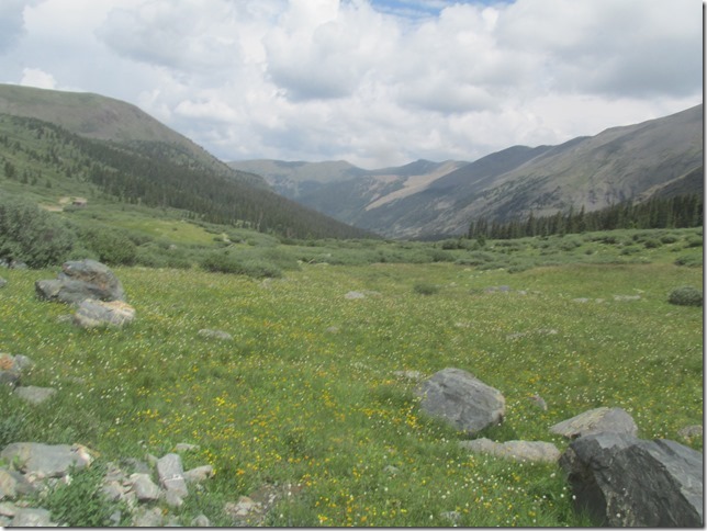
There were fields of wild flowers to compensate for all the bouncing.
Taylor Reservoir.
We came down a rocky hill to a pretty little lake called Taylor Reservoir.

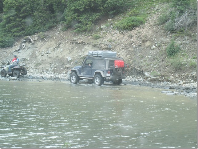
The trail goes through the water on the edge of the lake for about fifty feet.
Tincup.
We continued for a few more miles through the woods…

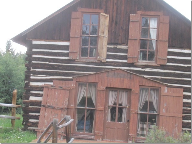
eventually coming to the “ghost town” of Tincup.

As in all these towns there are some very interesting buildings.
Cumberland Pass.
Our next objective was Cumberland Pass, 12,015 feet.
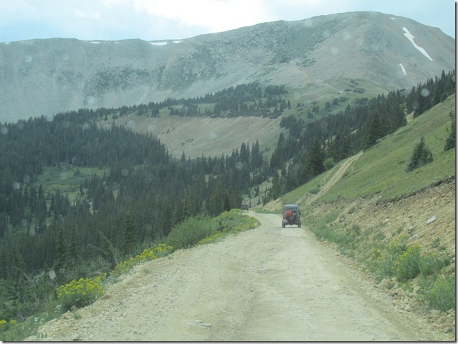
The road over Cumberland Pass was a lot smoother than Tincup Pass.
Not far along the road we passed some beaver dams.

A few more miles down the road we came upon this old cabin in the pond.

As we climbed it began to rain.
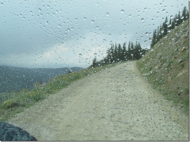
After a while the rain let up and we got some fantastic views.

We Made it to the top of Cumberland Pass.
Note.
Bob has recovered from his altitude problem.
I think we all will feel a lot better when we get down to Lower elevations.

We took a looked at the view; took a couple of pictures…

and off we went down the other side.
On the way down the hill we passed this old log building at this mine.

It was raining as we drove through the little town of Pitman.

At the far end of town we stopped to take a picture of this house.

Back on the Pavement.
A short distance after Pitman we got back on the pavement.

We were heading for Highway 50 where we would part from Ken.
He was heading home to Colorado Springs, bout a 3 hour drive.
It was really nice of him to come this far to guide us on this great side trip.
Looking for a Camp.
We turned off Highway fifty onto FR 114 and followed it south for several miles.
Eventually we found a small road going to the left.
I drove up it to see if there were any places flat enough for a camp.
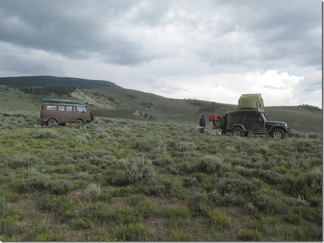
On a rise above the valley with a nice view we found a more or less flat area where we camped.
A Good Storm.
It was pretty windy when we stopped and we could see that we might get hit by a thunder storm that we could see in the distance.

I fixed our supper; pork tenderloin, green and red peppers, onion and canned potatoes, in gravy.

After supper we went to Cheryl and Dennis’ to visit. We sat around in the wind and spitting rain for a while discussing tomorrows plan
and just BS’ing.

After a while Patti said that she was cold and was going into the van. I agreed with her and we said good evening. We no sooner got to the van when it started to rain big fat drops and plenty of them. By the time we got squared away and in side the van we were wet.
We turned out to be right in the path of a rocky mountain thunder storm and it was great! It started around 8:00 and the first half was over by 9:30.
There were dark clouds blotting out the stetting sun, thunder rolling up the valley and lightning flashing between the clouds and striking the ridges around the valley. Of course we were so engrossed in the storm that we didn’t get any pictures.
Except for this one of the rain through a side window in the van.

The storm rolled through and was pretty much blown out by 10:30 PM.


